Multimodal mobility
Our Application
ViaFacil
All modes of mobility combined
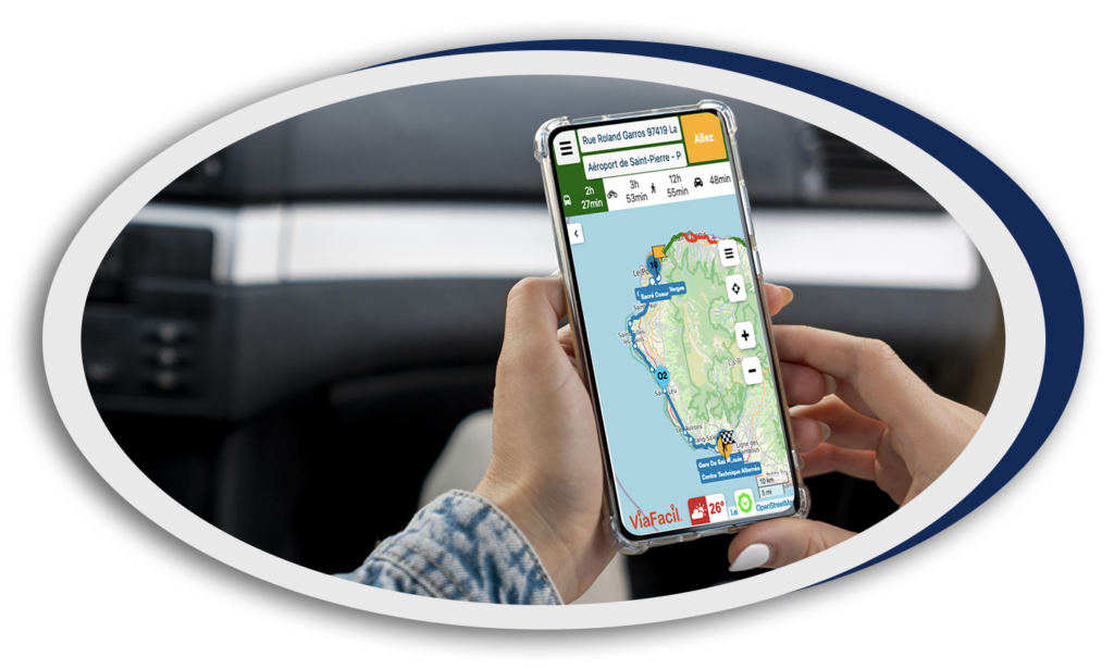
The ViaFacil application combines route calculation and information sharing on traffic and environmental conditions based on official and collaborative data.
This service is accessible via the Internet and does not require users to download an application on their cell phone (progressive web app -PWA).
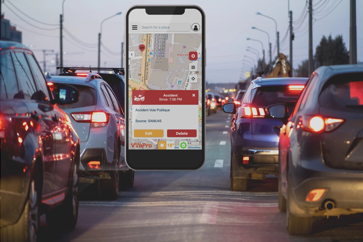
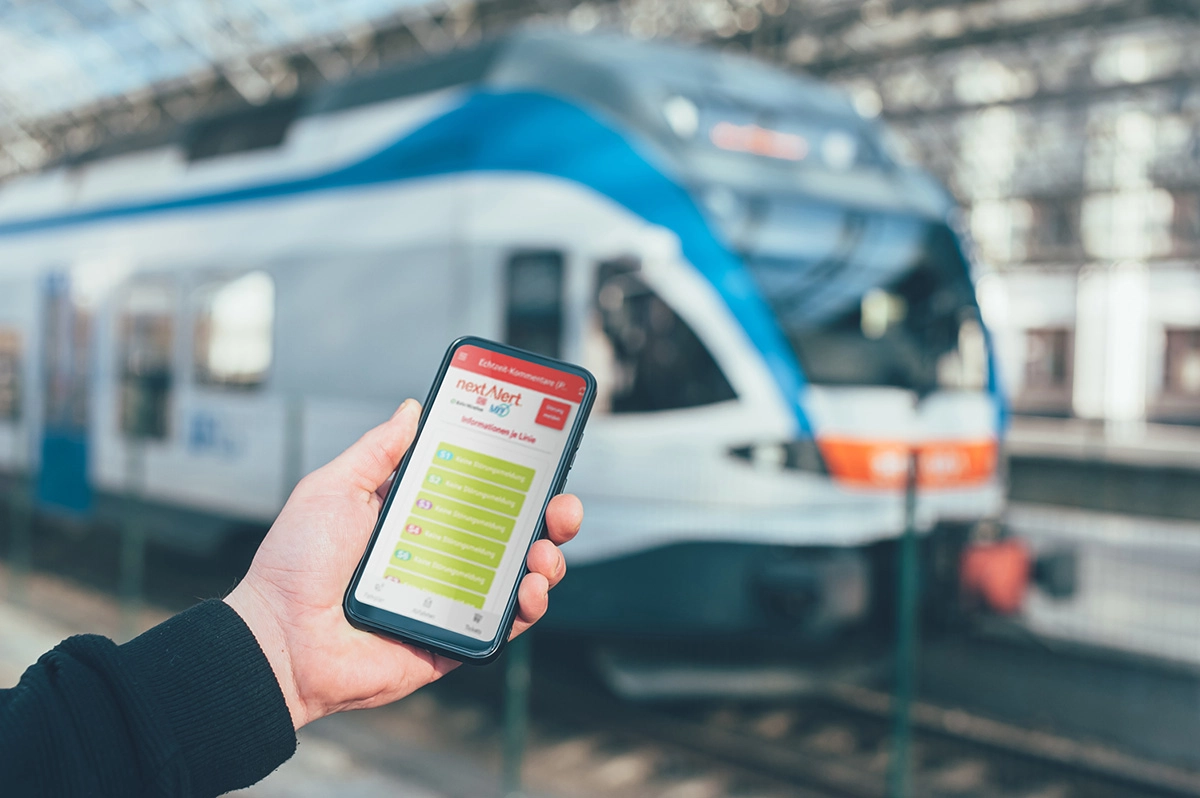
ViaFacil collects information from various sources and, thanks to the NextAlert service, takes advantage of official messages and messages from users and managers through the ViaPro application to provide geolocalized information in real time on traffic, disruptions in public transport, traffic jams, accidents, roadworks, parking spaces, flooding, etc…
It also offers a multimodal trip calculator (public transport, car, bike, pedestrian by default; other modes possible).

ADVANTAGES OF THE APPLICATION
The ViaFacil application helps :
- inform the public of disruptions regardless of the mode of transportation
- calculate multimodal routes
- alert the public in case of risk
- reduce car use
- promote multimodal travel
- minimize the CO2 impact
- to control the budget from a user point of view

Use cases
The ViaPro application is currently deployed in several territories and for different applications.

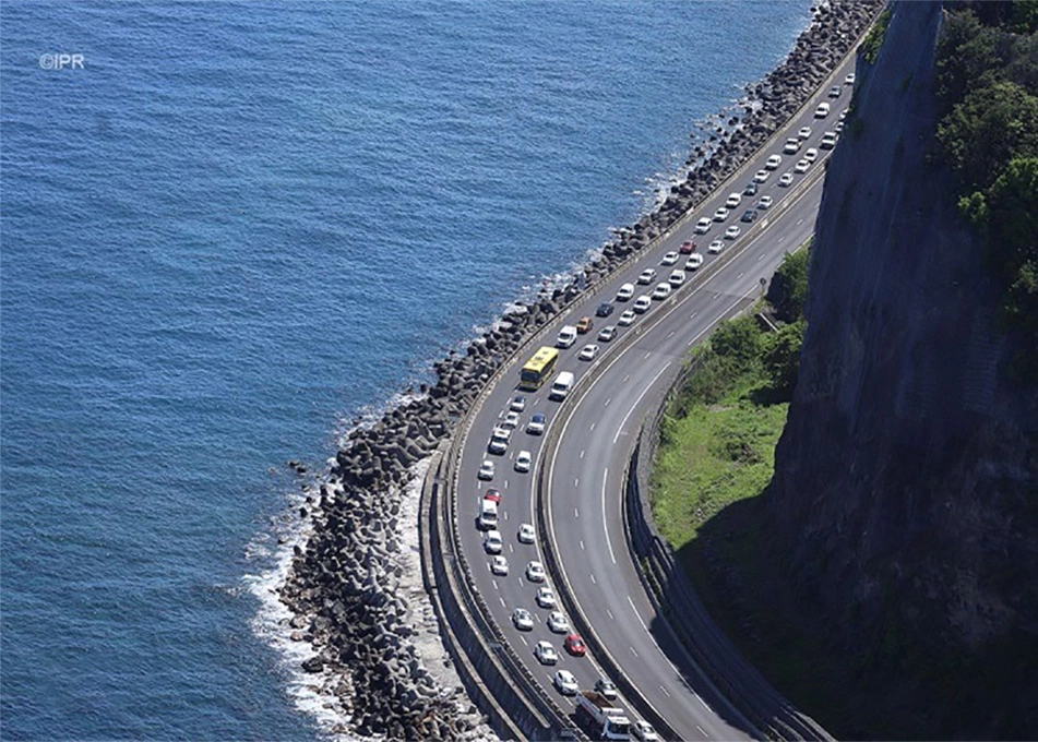
How La Réunion manages real-time traffic information and increases resident satisfaction with ViaPro and ViaFacil
Our other services

Traffic management
Sharing information between all network managers in real time.

Crisis management
Monitoring and sharing of information for the safety of citizens...

Traveler Information
All events on a route, in real time.

