
Crisis management
Information sharing
Between all emergency services on the territory
Real time
Monitoring of risks and events
Enhanced security
On-site information for responders
Our Application
ViaPro
A facilitated territorial management
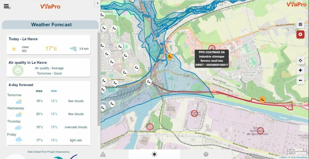
ViaPro is used during crisis exercises, it allows the sharing of secure information between all managers present on a territory and their diffusion to the crisis unit and to the citizens. The data processed concerns the monitoring of environmental and technological risks and their impact on mobility and infrastructures. This flexible and automated sharing of information between all stakeholders in the field promotes effective and targeted action in a context where responsiveness is key.
ADVANTAGES OF THE APPLICATION
Secured, the ViaPro application allows :
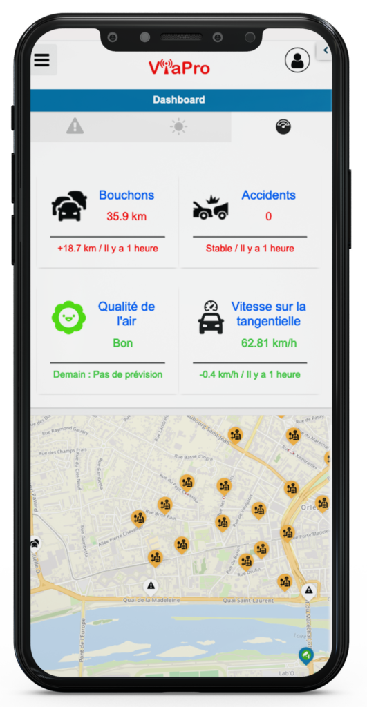
- the detection and sharing of weather, flood, pollution, technological risks and other alerts
- reliable and shared information in real time, allowing coordinated action
- the visualization of risk areas (flooding, technological, seismic, …)
- real-time public information on risks and instructions

Use case
The ViaPro application is currently deployed in several territories and for different applications.
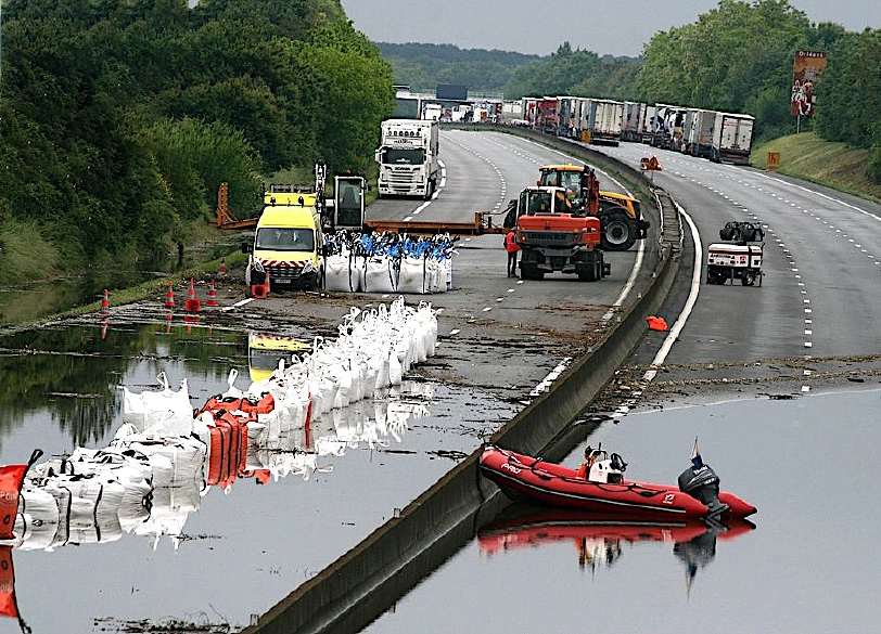
How the Loiret Department streamlined emergency management and increased responsiveness with ViaPro
Other services we offer
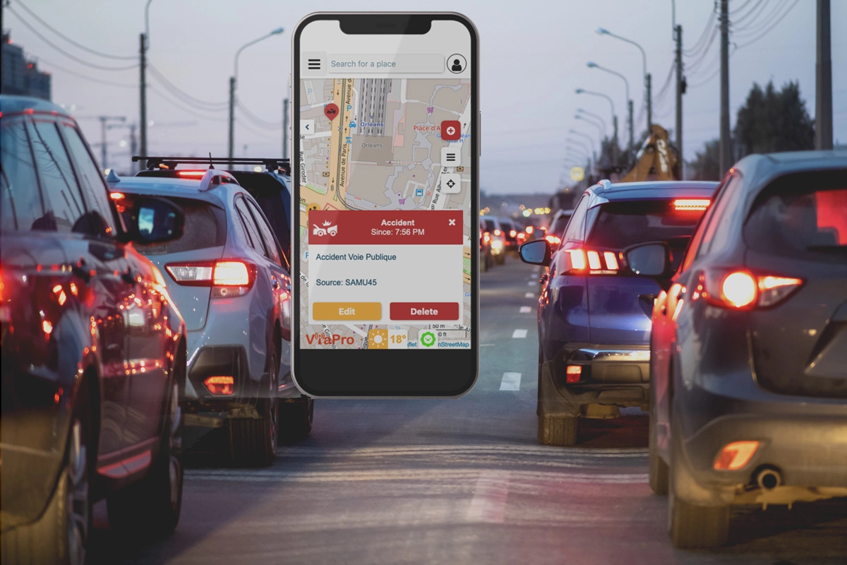
Traffic management
Information sharing between all network managers in real time.

Multimodal mobility
Real-time alerts and predictive multi-mode trip calculations.
Traveler Information
All events on a route, in real time.

